
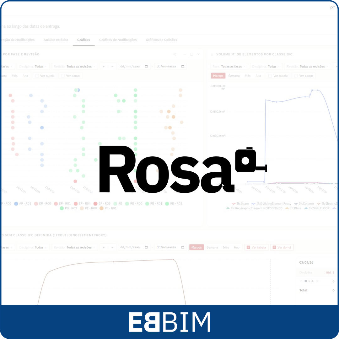
ROSA is an EBBIM platform for the bulk analysis and validation of information in BIM models, provided as a subscription service (SaaS), with browser-based access. Its distinguishing feature is the ability to run checks on sets of BIM models, allowing architecture, engineering and BIM coordination firms to continuously monitor hundreds of files as models are uploaded to common data environments (CDEs).
The platform can check georeferencing, level structure, the correct use of IFC classes, property completion and compliance with the criteria configured for the project in bulk, as well as run hundreds of geometric clash tests involving dozens of models in a few hours. This approach improves the performance of the checking process, making it easier to track results across deliveries and helping identify discrepancies and support decisions in the coordination and supervision of BIM-based projects.
Integrated with CDEs, ROSA identifies new deliveries and changes to models, organizes documents by project, phase, discipline, part, section and revision, and brings results together in tables, dashboards and reports. The firm gains a history of checks to support team coordination, adjustment requests and the assessment of information delivered to the client.
Price on request
Rosa subscription at the EBBIM Store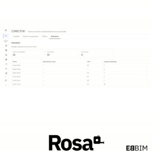
Connects the project to file sources such as Google Drive and Trimble Connect. Integrations with Autodesk Forma Data Management and local folders are being tested. It uses file names and folder structure to map models to phases, disciplines, parts, sections and revisions. Indicators and charts help track deliveries.
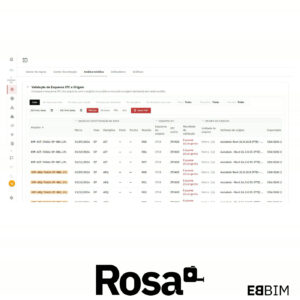
Identifies the IFC schema of each file and checks it against the schema accepted by the project. It also shows the origin data declared in the model, such as the originating system and the applications recorded in the IFC file.
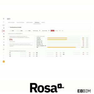
Extracts coordinates, elevation, orientation and the coordinate reference system from IFC models. It lets you compare this data with the project references and view the models in their geographic context.
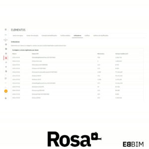
Reports counts by IFC class, geometric volumes, face counts, elements classified as proxies and duplicate IFC identifiers, based on the extraction rules. Tables and charts let you compare these indicators across deliveries.
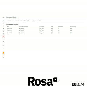
Checks whether the properties specified in the project rules have values. Results show the number of filled and empty values for each property set and property.
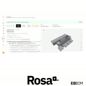
Detects clashes between elements in the same IFC model or in different models. It supports individual and batch tests with configurable tolerances, 3D inspection of clashes, review of saved audits, and export of results to PDF and BCF.